Fayette County Maps
TXDOT 1996 Fayette County Hig
hway Map
At University of Texas web site. Click on map to enlarge. Shows location of some cemeteries and creeks, but does not label smaller county roads.
Interactive Fayette County Cemeteries Map
Locations of cemeteries with links to more information about them. Page includes a link to GPX file that can be loaded into GPS navigation devices.
TXDot County Grid Maps
Type in Fayette, then double click on FAYETTE from menu that appears to the right. After results load, click on pdf for the part of the county you need. Pdfs will enlarge to show county roads, creeks, and some cemeteries.
Color Copies of Historic Maps
Available from Texas General Land OfficeIncludes a number of very nice old Fayette County maps to purchase
General Land Office Maps at the Portal to Texas History
Land grants. Click on map then zoom in for a closer look. Also downloadable.
1940 General Highway Map at Texas State Library web site
Downloadable. Shows rivers, lakes, creeks, streams, cities, towns, outlying buildings--including schools and churches, roads, highways (giving mileage between points), bridges, railroads, cemeteries, mines or quarries, and state roadside parks. Insets: West Point, Plum, Carmine.
1961 General Highway Map at Texas State Library web site
Shows rivers, lakes, creeks, streams, cities, towns; outlying buildings--including schools, churches, and post offices; roads, highways (giving mileage between points), bridges, railroads, cemeteries, oil fields, utility lines, petroleum pipelines, mines or quarries, and airfields. Insets: Winchester, Ledbetter, Carmine, Cistern, Engle, Muldoon, West Point, Plum, inset 1 - [La Grange subdivision], Ellinger.
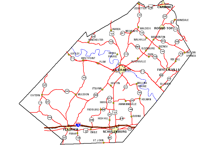
Major Roads and Communities
Road numbers are hard to read.
Communities Map
Show many of the smaller communities, but does not include county road numbers
Past & Present Fayette County, Texas Map
Show many of the early communities & location of early roads
Prepared by Gary E. McKee and J. Kahlden
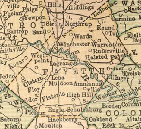
1914 County Map
Atlas of the World map shows communities and major roads
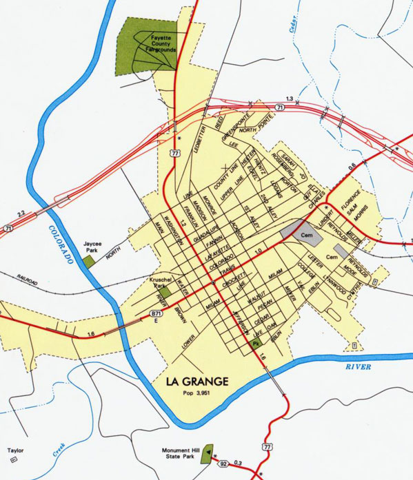
Community Street Maps
La Grange and Fayetteville Maps are courtesy of TXDOT.
All other community maps are from the Fayette County Courthouse.
1880-1881 Bird's Eye View Maps
Feature at Amon Carter Museum web site shows all buildings and landscape
Shaded Relief Map of Fayette County
Texas Tech University Digital Atlas of Texas Counties
Satellite Map of Fayette County
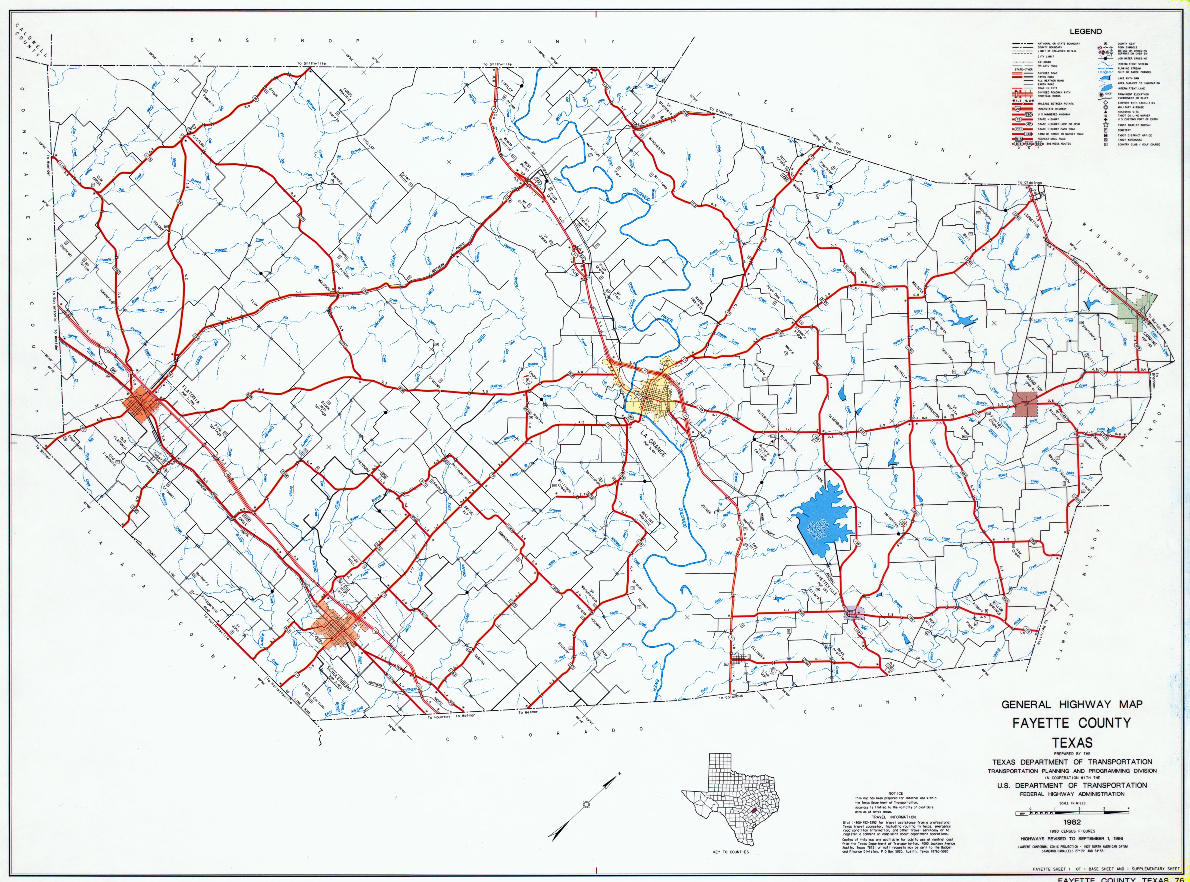 hway Map
